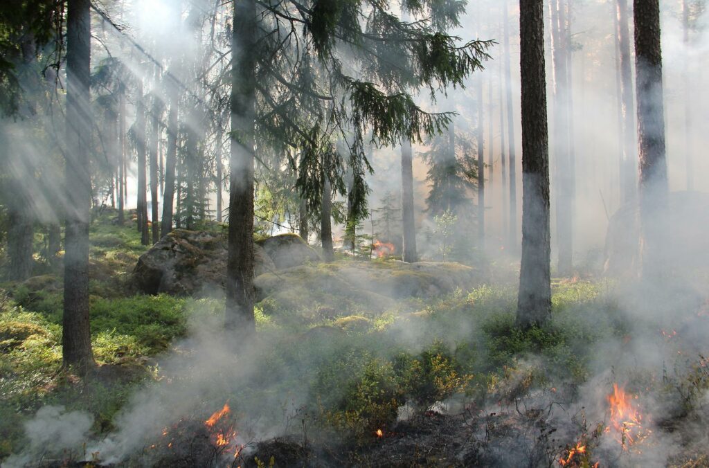
Pilot 1: Forest fire defense plans for rural areas
Location:
Tietar Valley (Avila, Spain).
Objectives:
Automate the generation of forest fires defence plans for rural areas, especially in those areas with high risk in their urban-forest interface.
Description:
The pilot will be focused on supporting the analysis of forest fires impact in urbanized areas, with AI-based prediction of the state, evolution, risk and maintenance analysis of the interface area between urbanized and forest areas.
There is a legal need of writing defence plans for municipalities against forest fire risks, especially for those municipalities embedded in forest areas, as a way to protect municipalities and urbanized areas of potential fires coming from the forest, and to avoid potential ignition points for a forest fire coming from the urbanized area.
The proposed pilot will support the preparation of this defence plans with the generation of smart 4D models (i.e., smart 3D models through time). In particular, the digital and surface models obtained will be combined with vegetation indices and moisture soil, so those urban-forest interfaces with more risk can be geolocated and quantified in terms of fire potential.
To this end, drones will be efficiently combined with satellite data following a coarse-to-fine approach and using the open-data cube scheme. AI processing techniques will allow to analyse and monitor large areas thanks to the use of satellite and drone techniques. As a result, a heatmap of those municipalities with more risk in their urban-forest interfaces will be carefully inspected by drones. These inspections will include accurate and reliable geolocation and cartographic data, calculation of biomass, identification and recognition of key elements (e.g., transversal road drainage, bridges, urban river banks, etc.) for their cleaning and/or maintenance. Moreover, drones’ inspection will provide a specific planning for the operators who will be doing these tasks in the urban-forest interfaces. In addition, this pilot will include a translation of the data captured to an evaluation system that will analyse the impact of the proposed actions within the urban-forest interface, in terms of economy and ecosystem services. The data will allow the comparison of “not acting” among different alternatives in the interface band, including traditional clearing and innovative actions, acting as a supporting decision tool for stakeholders.